Explore tree canopy data to see how much of your community is covered by trees and where coverage may be lacking. This information can help you understand local environmental conditions, identify areas needing more greenery, and support urban planning efforts.
What is “Tree Canopy?”
Tree canopy is the layer formed by the branches, leaves, and stems of trees that provide cover over the ground. Imagine looking at Charlotte from above, as if you were a bird flying overhead. In Charlotte, about 47% of what you’d see would be the tops of trees. Larger, fuller trees naturally provide more canopy coverage than smaller or younger ones.
However, Charlotte’s tree canopy is shrinking rapidly due to factors like urban development, aging trees, and environmental changes. If current trends continue, it’s projected that canopy coverage could fall to just 40% by 2050. This decline would significantly impact the city’s temperature, public health, infrastructure, and overall character.
That’s why protecting and expanding Charlotte’s tree canopy is critical. Watch this short video to learn more about why tree canopy matters.
State of Charlotte’s Tree Canopy
2023 Urban Tree Canopy Assessment
PlanIt Geo, TreesCharlotte, City of Charlotte
In just four years, Charlotte lost the equivalent of a fully forested UNC Charlotte campus! Read the State of the Canopy study HERE. You can also download the abridged Canopy Assessment Fact Sheet here.
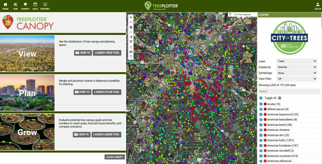
Tree by Tree (TreePlotter)
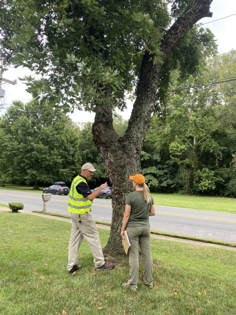
One effective way to help protect, maintain, and grow Charlotte’s tree canopy is by keeping track of the city’s trees. Tree By Tree is a community-driven tree inventory tool designed specifically for Charlotte. Created to engage residents directly, the platform allows individuals to identify and log trees on their own properties. By participating, community members play a key role in supporting the health and future of Charlotte’s urban forest.
Additionally, Charlotteans can use TreePlotter’s Canopy tool to:
- See the distribution of tree canopy and planting space (View),
- Weight and prioritize criteria to determine suitability for planting (Plan),
- And evaluate potential tree canopy goals and tree numbers to reach goals, forecast future benefits, and compare scenarios (Grow).
Charlotte/Mecklenburg Quality of Life Explorer
The Charlotte/Mecklenburg Quality of Life Explorer is an interactive online dashboard that lets you dive deep into the social, economic, environmental, housing, safety, and educational landscape of Charlotte and Mecklenburg County, all through granular neighborhood-level data.
The publicly accessible and interactive mapping tool includes nine categories to characterize qualify of life:
- Character
- Economy
- Education Engagement
- Environment (Tree Canopy!)
- Health
- Housing
- Safety
- Transportation
Climate and Economic Justice Screening Tool (CEJST)
The CEJST is a geospatial data tool developed by the White House Council on Environmental Quality (CEQ) to support the Justice40 Initiative, a federal program aiming to ensure that 40% of benefits from climate, clean energy, and environmental investments reach disadvantaged communities.
CEJST Eight Categories of Burden
Communities are evaluated based on burdens across these categories:
- Climate change (e.g., flood, wildfire risk)
- Energy access
- Health
- Housing
- Legacy pollution (e.g., abandoned industrial sites)
- Transportation barriers
- Water and wastewater infrastructure
- Workforce development
Please note, as of early 2025, public access to CEJST on the official White House site was discontinued following executive actions rescinding the Justice40 directive. However, the map is still available and archived here.